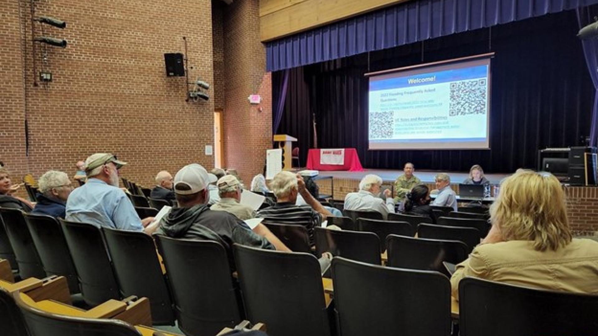
Fort Frances, Ontario, and International Falls, Minnesota, were the sites of listening sessions in August by the International Rainy-Lake of the Woods Watershed Board.
The focus was on major flooding in the spring of 2022 that affected the region for months.
The board’s Water Levels Committee presented a video on the flood event and community members shared views and concerns to help inform a post-flood report being prepared for the board. Meteorologists at the meeting said basin residents can participate by getting involved in snowpack measuring as citizen scientists.
The record-setting flood experienced in the Rainy-Lake of the Woods basin in the spring was beyond the capacity of any regulation plan to mitigate, according to board members and US National Weather Service (NWS) personnel in attendance. But more snowpack data would help inform future operational decisions, which are made each year in early March and adjusted as conditions shift in ensuing months.
The board received questions as to why the snowpack did not raise more alarm bells in March. While snowpack was above average at that time, the board indicated conditions in April and May set the stage for the floods this year, including heavy precipitation and a delayed spring melt.
Snowpack is one of several important variables that influence minor, moderate or severe spring flooding. Snowpack varies significantly across the expanse of a large watershed and measuring sites are particularly sparse in the Rainy-Namakan basin.
Citizen Science Opportunities
The U.S. National Oceanic and Atmospheric Administration, Environment and Climate Change Canada and other organizations sponsor what’s known as the Community Collaborative Rain, Hail and Snow Network (CoCoRaHS) program, a community-based network of volunteers who measure and report precipitation across Canada and the United States.
The program teaches volunteers to measure and log precipitation on their own property using simple tools. The data is compiled online and made available to climatologists and flood forecasting agencies.
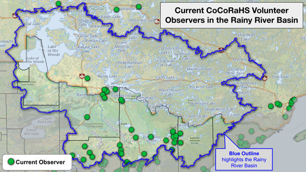
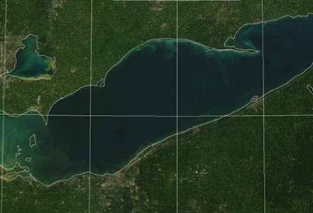
A map of current CoCoRaHS observation locations near and within the Lake of the Woods basin as of October 2022. Credit: NWS-Duluth
The board’s Water Levels Committee can use this information when determining a regulation approach for dam operators within Rainy and Namakan lakes to best maintain water levels and flows within the range agreed upon by Canada and the United States, known as the rule curves, when conditions permit. When making rule curve decisions, the committee develops an average based on measurements made by CoCoRaHS observers, so more observations can lead to a more accurate average.
Those interested in participating in the CoCoRaHS program can email ketzel.levens@noaa.gov on the US side of the border or canada@cocorahs.org on the Canadian side or visit cocorahs.org to sign up.
The board committee is preparing a post-flood report that will study conditions before and during the flood and, if necessary, make recommendations to the IJC on possible improvements. The committee anticipates releasing a draft report for public review by the end of the year and finalizing the report in March 2023.
Col. Karl Jansen, the US co-chair for the board and Water Levels Committee at the time of the listening sessions, praised public member Pam Tomevi for her work in keeping local residents aware of the committee’s events and activities during the crisis. Jansen and Canadian Water Levels Committee Co-Chair Megan Garner stressed the importance of public involvement and the need to focus on resilience ahead of future floods in the area.

Kevin Bunch is a writer-communications specialist at the IJC’s US Section office in Washington, D.C.